Postcards and Photos of Penang's Hills

By Rachel Yeoh

June 2025 PHOTO ESSAY
main image
View southeast over Paya Terubong valley. The summit in this photo is Bukit Kukus and the secondary peak next to it (on the right) is Bukit Paduka.
Advertisement

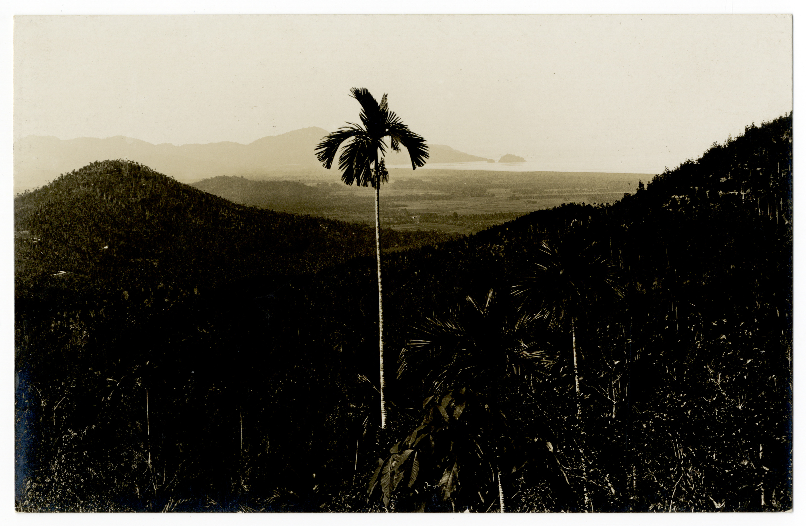
TWO YEARS AFTER setting foot on Penang Island in 1786, Francis Light set his sights on the hills of Penang—well, Penang Hill in particular, which consists of a range of hills with six peaks, today known as Tiger Hill, Flagstaff Hill, Western Hill, Laksamana Hill, Government Hill and Haliburton Hill.[1] It was said that Light constructed a horse track up to the Hill from the Botanic Gardens in 1788.

I’d like to think that when Francis Light circumnavigated the Island (which was likely, being an explorer and all), he would have caught a glimpse of what we see of the hills today when we drive towards it from the Penang Bridge. While not towering, the hills form a prominent landscape—it makes up the backbone of the Island—from Olivia Hill toward the north to Eagle Hill at the southern range, the dense forest on slopes, today forefronted by proliferating development, making a concrete jungle out of its plains.

Here, we look at what Penang was like during colonial times through old postcards and photos of, on and from the hills of Penang.

View to the hills from the harbour, circa 1905. George Town was then a bustling hub of trade and activity, and a key part of the commercial network among British colonies and also Southeast Asia.[2] The hills from this vantage is part of the southern range.

Miami Beach, circa 1930s. This stretch of beach was popular among tourists on the Batu Feringghi coastline. Behind the beach is Moonlight Bay, and the incline up the slope leads to what we know today as Freedom Hill.

Bel Retiro from Convalescent Bungalow, built for those who needed to recover from the hot and humid tropical climate. It looks over Bel Retiro, built for the use of the Governor of Penang in 1789.

View southwest towards Pulau Bedong, circa 1920s.

Flagstaff at Bel Retiro, circa 1905. Flagstaff Hill, the most developed peak on Penang Hill, is named after this flagstaff.

Tanjung Bunga Hill, circa 1910s. The western side of the U-shaped Vale of Tempe (Lembah Permai) was known as Tanjung Bunga Hill in the late 19th until the early 20th century. It was once part of Rockhill Estate belonging to Cheah Choo Yew. It is now colloquially called Clara’s Peak, although officially unnamed.

Penang on the Hills, circa 1900s. Taken at the Crag Hotel terrace.

Road to Penang Hill, circa 1900s. There was no funicular train then, and to get to the Hill, one would either walk, go on horseback or sit on sedan chairs carried by porters.

*Note: Special thanks to Eugene Quah and Rexy Prakash Chacko for their help in identifying some of the hills.


FOOTNOTES

[1] https://penanghill.gov.my/index.php/en/attractions

[2] https://gtwhi.com.my/wp-content/uploads/2019/05/A-Guide-to-George-Town_s-Historic-Commercial-and-Civic-Precincts.pdf

Rachel Yeoh

is a former journalist who traded her on-the-go job for a life behind the desk. For the sake of work-life balance, she participates in Penang's performing arts scene after hours.


`