

Collectibles in The Hills
By Eugene Quah, Rexy Prakash Chacko
June 2025 FEATURE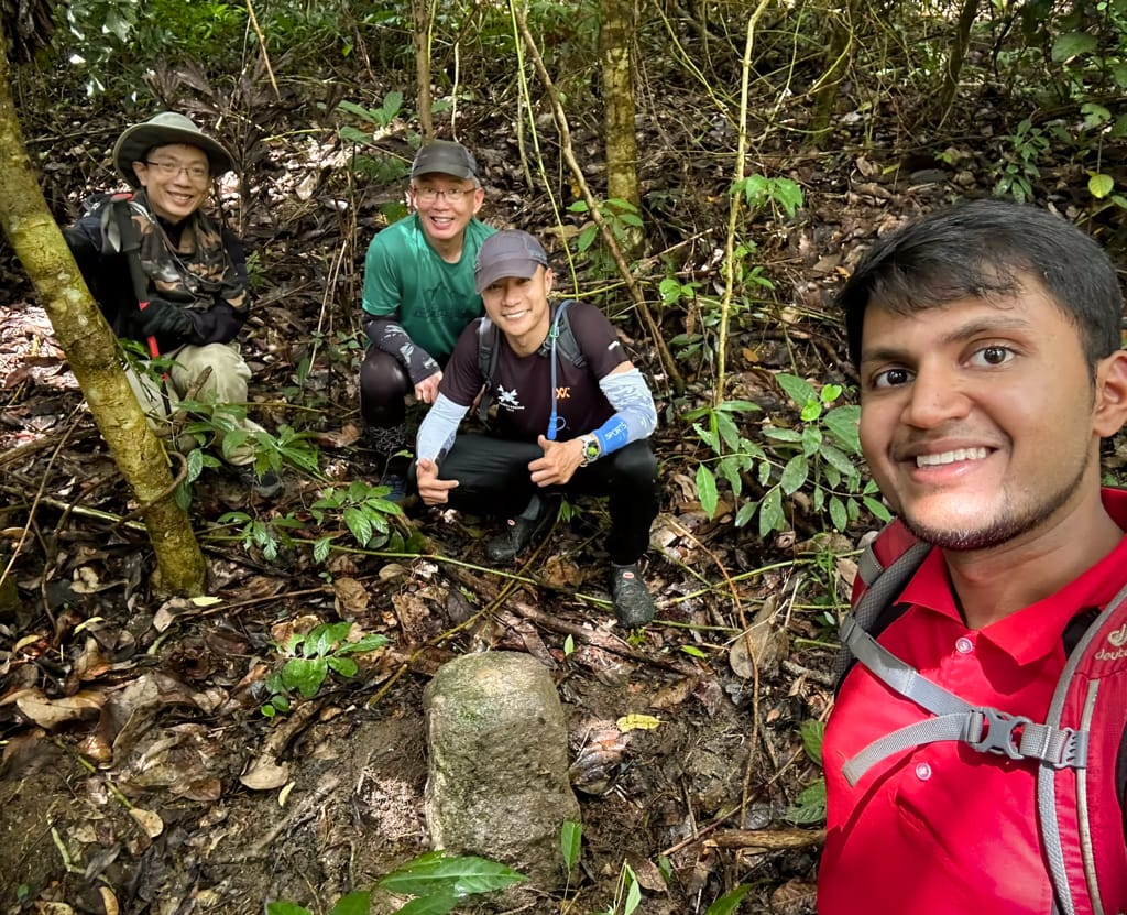

Eugene Quah
is an independent researcher and writer who is working on a book tentatively called “Illustrated Guide to the North Coast of Penang”. He rediscovered the joys of writing after moving back to Penang from abroad.
![]()
Rexy Prakash Chacko
is an electronic engineer by profession and a nature lover by passion. While he spends his weekdays earning a living at the Bayan Lepas Free Industrial Zone, his weekends are spent reflecting and recharging on the green hills of Penang.
![]()