

A Short History of Pulau Rimau
By Eugene Quah
March 2024 LEST WE FORGET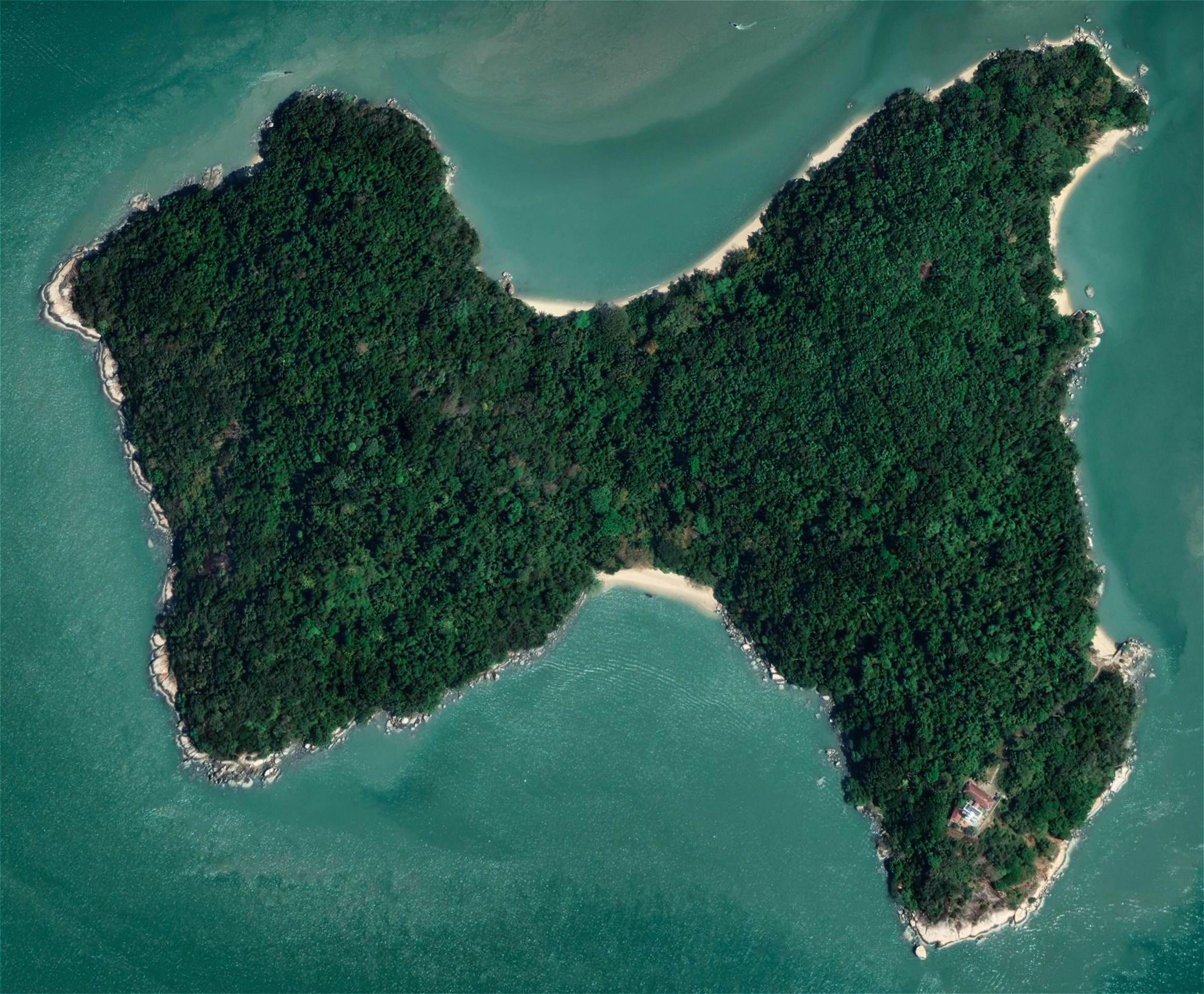
*Note: The printed version of this article states that the French referred to Penang Island as île Cayment; the correct information is that the French referred to Pulau Rimau as île Cayment.WALKING ALONG THE Queen’s Waterfront promenade at Bayan Lepas, you see a large, heavily forested island nearby that once hosted a leper colony and, later, a prison. This is Pulau Jerejak. Facing the said island, look to your left and you will see a forlorn blue ship, sitting slightly...

References
- [1] D.C. MacIntyre, “Notice re Light at Pulau Rimau,” “Pinang Gazette and Straits Chronicle,” January 16, 1906, pg. 6
- [2] S. Durai Raja Singam(1962), “Malayan Place Names”, pg. 198
- [3] “Geographical Range of Selected Lighthouses,” Marine Department Malaysia, 2012
- [4] “Penang’s Tiger Visitor: Swims Across Six Mile Channel From Mainland,” The Straits Budget, November 14, 1929, pg. 15
- [5] “The Late Mr. S.E.A. Linton,” Pinang Gazette and Straits Chronicle, January 29, 1918, pg. 4
- [6] EDM Global Tech Sdn Bhd (2020), “Installation of Rotating Beacon at Pulau Rimau Light,” Accessed: https://www.facebook.com/edmglobaltech?tn=%2Cd-UC, Video
- [7] Farquhar Matheson McLarty, “Affairs of the Colony, Being a History Concerning the Straits Settlements,” 1893, pg. lxiii
- [8] Hakluyt Society (1877), “The Voyages of Sir James Lancaster,” “Narrative of the First Voyage,” pg. 1- 25
- [9] M. d’Après de Mannevillette (1845), “Instructions sur la Navigation des Indes Orientales et de la Chine,” pg. 384
- [10] Penang Marine Department (1930), “Conversion of Pulo Rimau Light From a 4 Wick Oil Burner to 50 M/M Hood Petroleum Vapour Burner,” Document: 1957/0702420W, Arkib Negara
- [11] Straits Settlements Blue Book, 1910, pg. 760
- [12] Straits Settlements Blue Book, 1925, Section 3, pg. 42
- [13] Straits Settlements Blue Book, 1938, pg. 980
- [14] Straits Settlements (1917), “Annual Departmental Report of the Straits Settlements for the Year 1917,” pg. 86
- [15] Straits Settlements Blue Book, 1904, pg. 694 (W2)
- [16] Straits Settlements Factory Records (1819), “B5: Penang: Letters to London,” pg. 75 of 363, NAS, Microfilm No. 3218
- [17] Straits Settlements Factory Records (1820), “Census of the Population of P W Island,” “A18: Penang Consultations,” pg. 954 of 1021
- [18] Straits Settlements Factory Records (1825), “H12: Penang: Letters & Orders-in-Council: General Orders,” pg. 350 of 376
- [19] Thomas M. Ward (1833), “Sketch of the Geology of Pulo Pinang and the Neighbouring Islands,” Asiatick Researches, Volume 18
- [20] John James Erskine (1820), Report prepared on December 26, 1820, read to Council on January 11, 1821, “A15: Penang Consultations,” NAS, Microfilm No. 3218
- [21] “The London and China Telegraph,” June 8, 1874, pg. 392
- [22] “Penang Ferry,” The Straits Times, August 6, 1980, pg. 13
- [23] “The Legislative Council,” Straits Times Weekly Issue, July 12, 1883, pg. 8
Eugene Quah
is an independent researcher and writer who is working on a book tentatively called “Illustrated Guide to the North Coast of Penang”. He rediscovered the joys of writing after moving back to Penang from abroad.
![]()